Sanborn Fire Insurance Map — Croton-on-Hudson (1903)
Sanborn Fire Insurance Map — Croton-on-Hudson (1903)
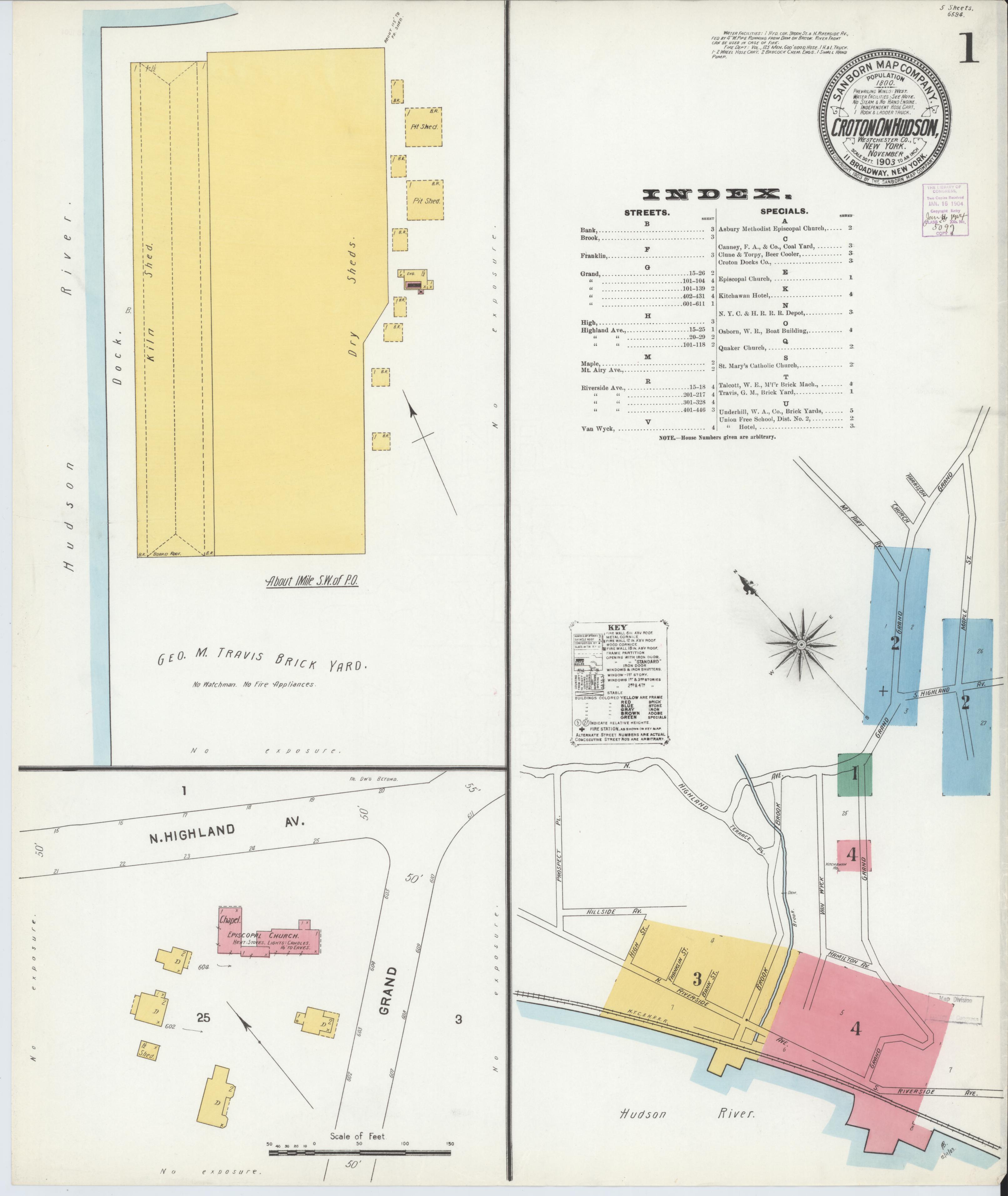
The earliest Sanborn map of Croton-on-Hudson, showing the village layout in 1903 during the final years of New Croton Dam construction. Sanborn maps documented building construction materials, dimensions, and uses for fire insurance underwriters. They are invaluable records of historic village development.
Date: 1903 Location: Croton-on-Hudson, NY Type: map Subjects: Hudson River, Croton-on-Hudson, buildings, streets, properties Source: Library of Congress, Geography and Map Division License: Public domain