New Netherland and New England Map (1662)
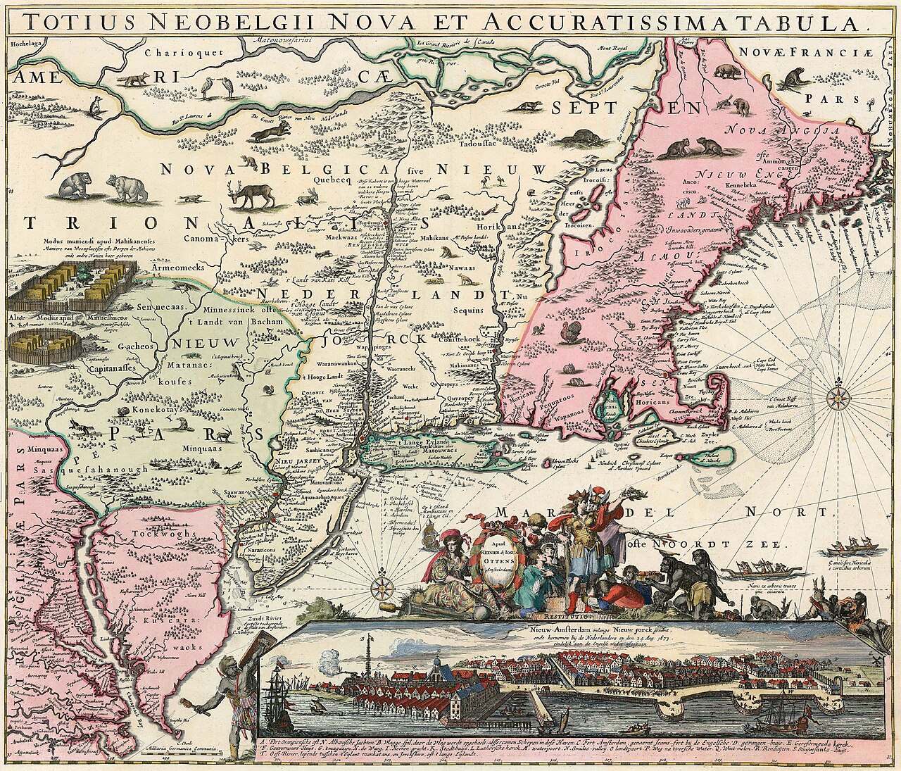
New Netherland and New England Map (1662)
This map shows the eastern coast of North America, focusing on New Netherland (present-day New York) and New England. It features the Hudson River, Native American territories, and early Dutch and English settlements. The map includes decorative elements such as animals, a compass rose, and a cityscape view of New Amsterdam.
Date: 1662 Type: map Subjects: river, Native American territories, early settlements, map ornaments Source: Wikimedia Commons License: Public domain