Province of New York Map (1776)
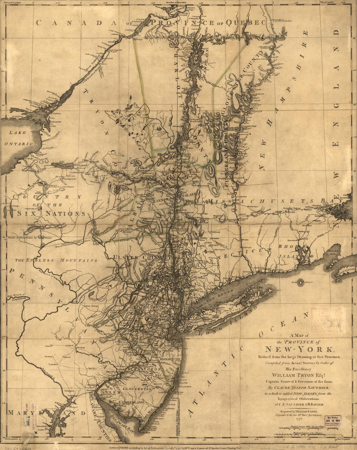
Province of New York Map (1776)
Map of the Province of New York during the Revolutionary War era, showing Westchester County — the contested 'Neutral Ground' between American and British lines.
Date: 1776 Type: map Subjects: river, county, ocean, map grid Source: Library of Congress License: Public domain