San Francisco Map (1848)
San Francisco Map (1848)
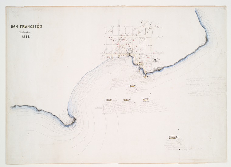
Detailed map of San Francisco in September 1848, showing the city's layout, waterways, and surrounding geography.
Date: 1843 Location: Harlem River, New York City Type: map Subjects: San Francisco, map, waterways, city layout Source: NYPL / F.B. Tower, Illustrations of the Croton Aqueduct License: Public domain