History /
Archive /
crotonhistory.org — https://crotonhistory.org/2013/06/11/census-map-of-croton-1935/
Census Map of Croton, 1935
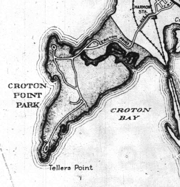
Census Map of Croton, 1935
Census Map of Croton, 1935
This post presents three detailed sections from a 1935 census map of the Town of Cortlandt, which accompanied the 1940 census. The map details focus on three areas: Croton, Harmon, and Croton Point.
The map was created in January 1935 "in the office of the County Engineer, with workers supplied by the Westchester County Emergency Work Bureau." This indicates the map was a product of Depression-era public works employment programs.
Date: Various Source: crotonhistory.org — https://crotonhistory.org/2013/06/11/census-map-of-croton-1935/ License: Used with attribution; consult crotonhistory.org for permissions