History / Search
257 passages in 257 source items for “Remembering Mosier’s Fight”
Collection
All
🏹 Indigenous Peoples & Archaeology
📜 Colonial & Dutch Records
📖 Westchester County Histories
🏘️ Croton Local History
🏛️ Government Documents
No passages matched all of those words — showing passages that match any of them, best matches first.
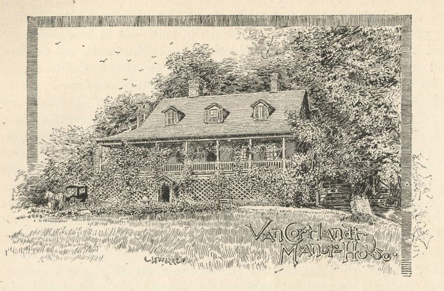
crotonhistory.org — https://crotonhistory.org/2015/04/26/crotons-old-post-road-inn-1890/
Croton's Old Post Road Inn, 1890
Croton's Old Post Road Inn, 1890
In January 1890, Frank Leslie's Popular Monthly published an article by C. Hills Warren examining the Albany Post Road's history with nostalgic reverence. Warren…
crotonhistory.org — https://crotonhistory.org/2015/04/26/crotons-old-post-road-inn-1890/
Croton's Old Post Road Inn, 1890
Croton's Old Post Road Inn, 1890
In January 1890, Frank Leslie's Popular Monthly published an article by C. Hills Warren examining the Albany Post Road's history with nostalgic reverence. Warren…
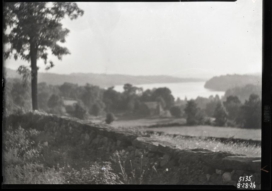
Westchester County Park Commission Photograph Collection
Croton Lake from Baldwin's
Date: 1926
Source: Westchester County Park Commission Photograph Collection
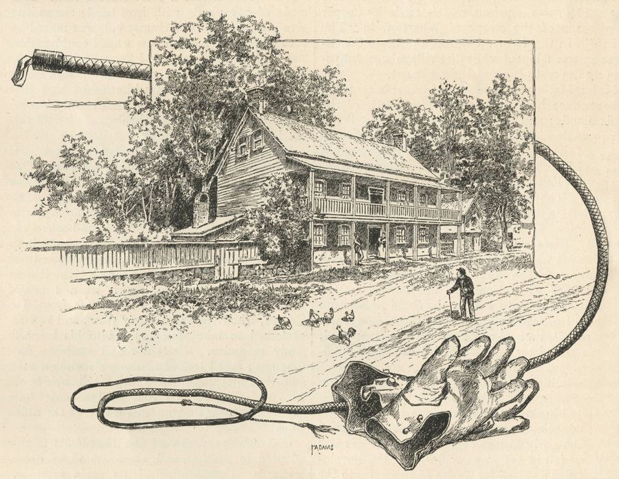
crotonhistory.org — https://crotonhistory.org/2015/04/26/crotons-old-post-road-inn-1890/
Croton's Old Post Road Inn, 1890
Croton's Old Post Road Inn, 1890
In January 1890, Frank Leslie's Popular Monthly published an article by C. Hills Warren examining the Albany Post Road's history with nostalgic reverence. Warren…
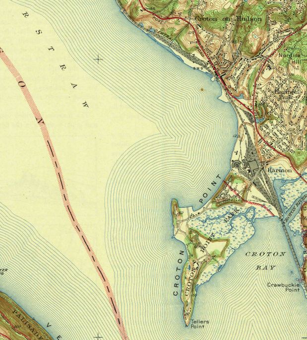
crotonhistory.org — https://crotonhistory.org/2013/06/13/u-s-geographical-survey-map-1943/
U.S. Geographical Survey Map, 1943
U.S. Geographical Survey Map, 1943
This article examines a 1943 topographic map of the Haverstraw Quadrangle, surveyed in 1938 by the U.S. Department of the Interior Geological Survey. The map reveals Croton…
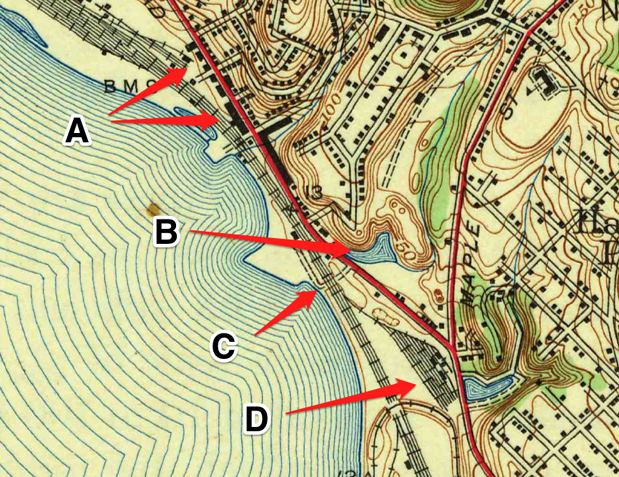
crotonhistory.org — https://crotonhistory.org/2013/06/13/u-s-geographical-survey-map-1943/
U.S. Geographical Survey Map, 1943
U.S. Geographical Survey Map, 1943
This article examines a 1943 topographic map of the Haverstraw Quadrangle, surveyed in 1938 by the U.S. Department of the Interior Geological Survey. The map reveals Croton…
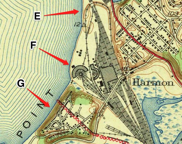
crotonhistory.org — https://crotonhistory.org/2013/06/13/u-s-geographical-survey-map-1943/
U.S. Geographical Survey Map, 1943
U.S. Geographical Survey Map, 1943
This article examines a 1943 topographic map of the Haverstraw Quadrangle, surveyed in 1938 by the U.S. Department of the Interior Geological Survey. The map reveals Croton…
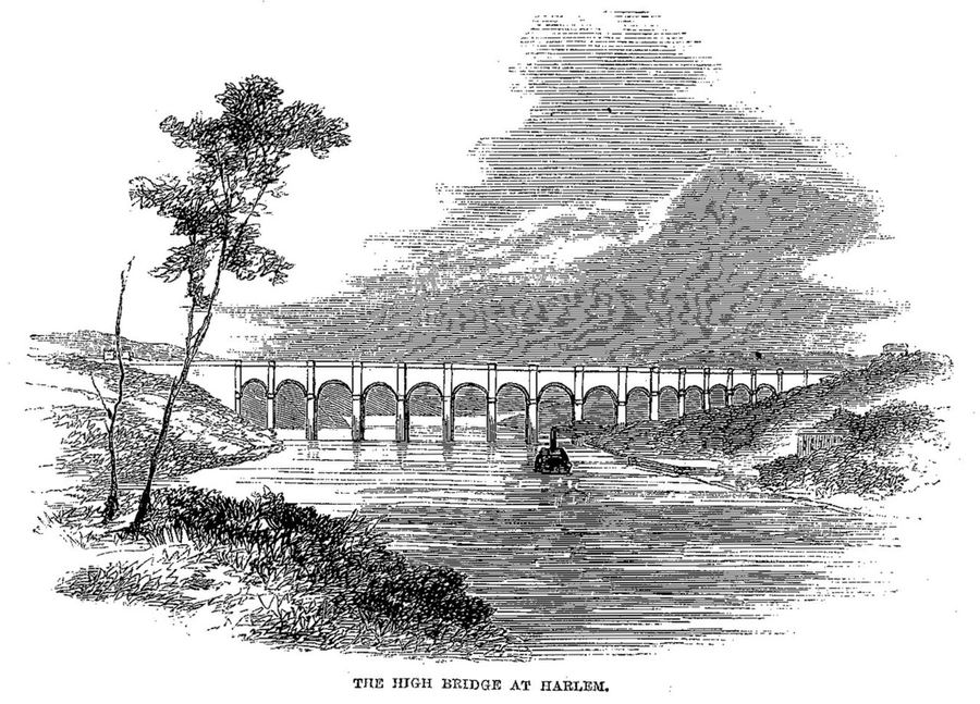
Harper's New Monthly Magazine / Wikimedia Commons
The High Bridge at Harlem — Harper's Magazine (1860)
Engraving of the iconic High Bridge carrying the Croton Aqueduct over the Harlem River. The oldest standing bridge in New York City, opened 1848, with Roman-style stone arches. From Harper…
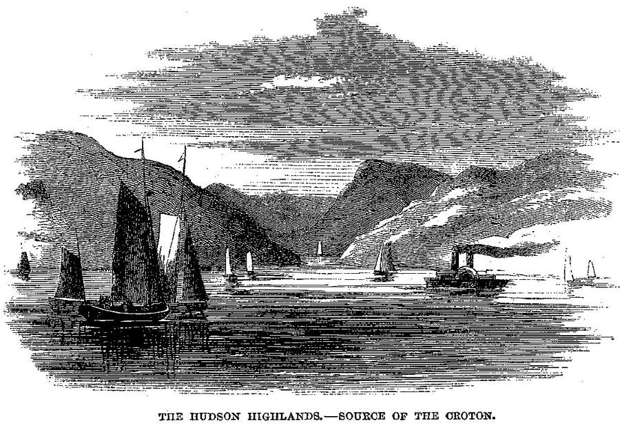
Harper's New Monthly Magazine / Wikimedia Commons
The Hudson Highlands, Source of the Croton — Harper's (1860)
Engraving showing the Hudson Highlands near the source of the Croton River. From Harper's, December 1860. The Croton River rises in Putnam County and flows through the highlands before…
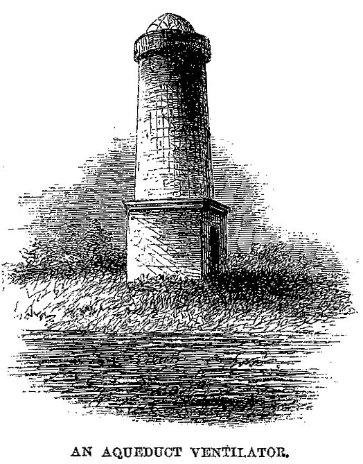
Harper's New Monthly Magazine / Wikimedia Commons
An Aqueduct Ventilator — Harper's Magazine (1860)
Engraving of a ventilation tower along the Croton Aqueduct. These distinctive stone towers, spaced at intervals along the 41-mile route, allowed air circulation in the underground tunnel. They became landmarks along the…
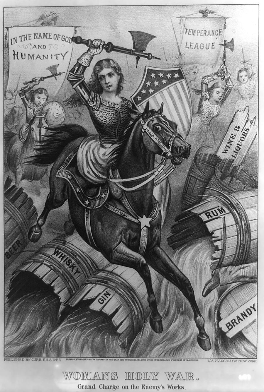
Wikimedia Commons (Currier & Ives)
Woman's Holy War — Temperance Cartoon
Currier & Ives 1874 temperance cartoon 'Woman's Holy War.' The Croton area had several speakeasies during Prohibition including the Nikko Inn, Mikado Inn, and Tumble Inn.
Date: 1874
Type: lithograph
Subjects: woman, horse, barrels…
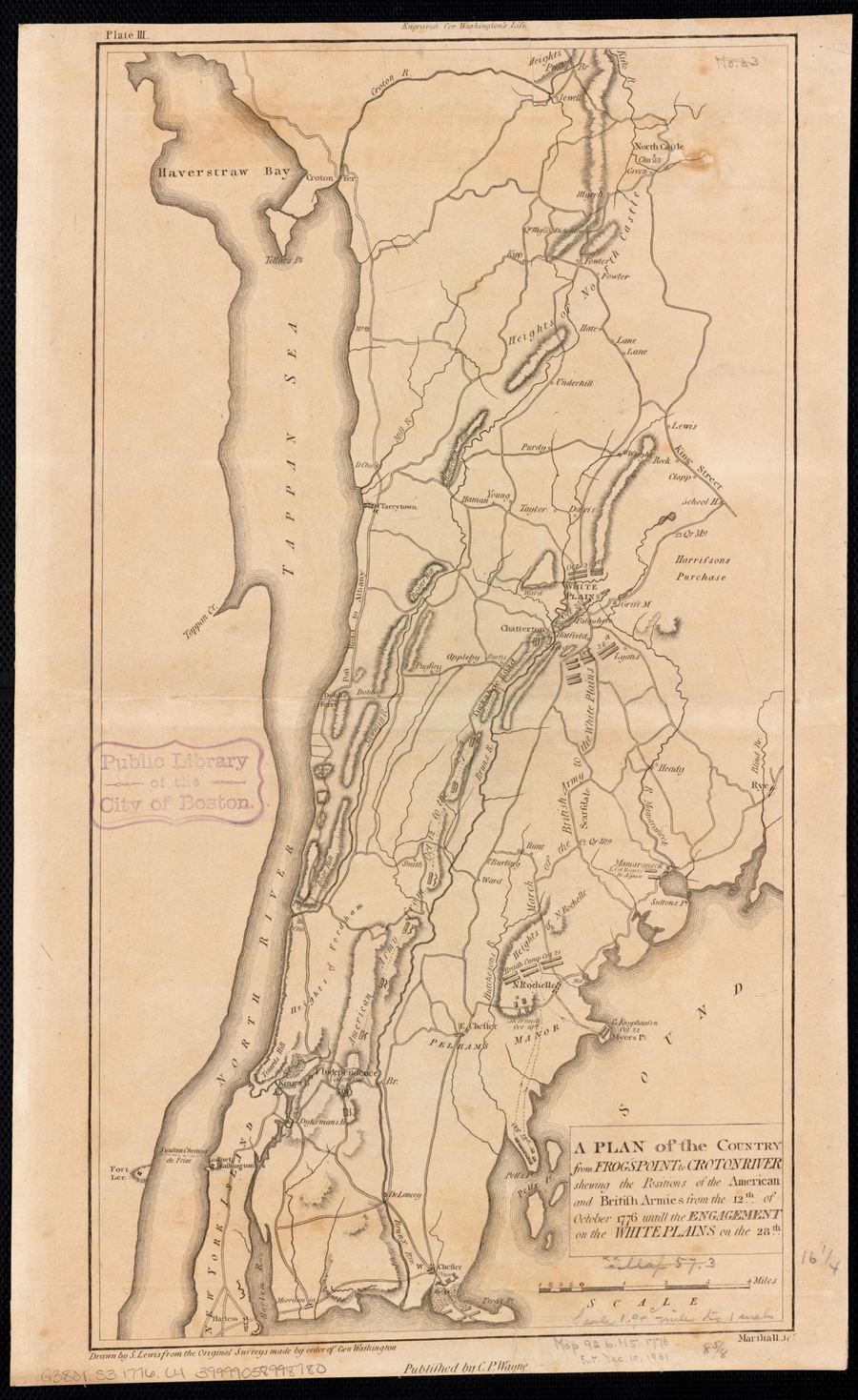
Leventhal Map Center, Boston Public Library
…Frog's Point to Croton River (1776)
Revolutionary War map showing American and British army positions from Frog's Point to the Croton River, October 12-28, 1776. Shows the Croton Ferry crossing and military fortifications in the Neutral Ground…
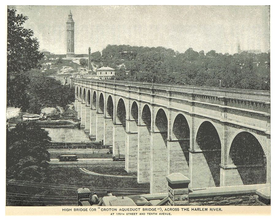
King's Handbook of New York City / Wikimedia Commons
Croton Aqueduct Bridge (High Bridge) — King's Handbook (1893)
The High Bridge across the Harlem River from King's Handbook of New York City (1893). Shows the bridge in its original stone-arch form — a Roman-style aqueduct bridge that…
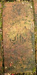
brickcollecting.com
Historic Brick Bearing 'UJN' Manufacturer's Mark
This image captures a close-up of a single weathered, reddish-brown brick, likely part of an outdoor path or older structure. The brick's surface is covered with dirt and moss, hinting…
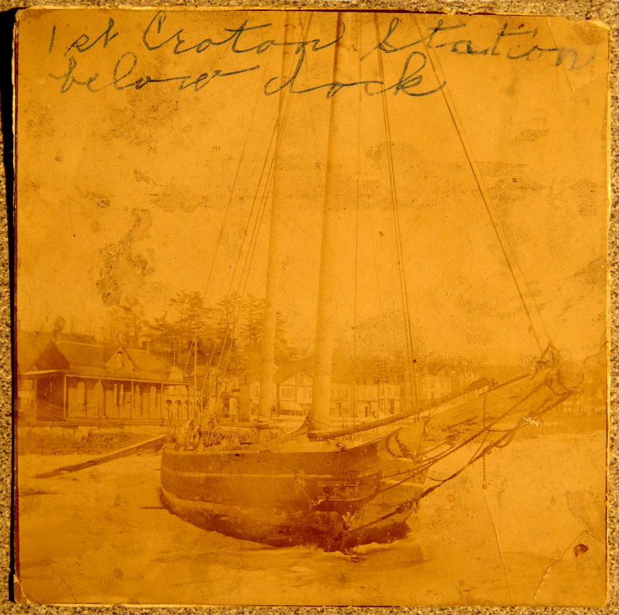
crotonhistory.org — https://crotonhistory.org/2014/08/28/crotons-first-train-station/
Croton's First Train Station
Croton's First Train Station
This article presents a historically significant photograph of Croton's inaugural train station, circa 1849. The station was constructed in 1849 and situated on the river side of the tracks…
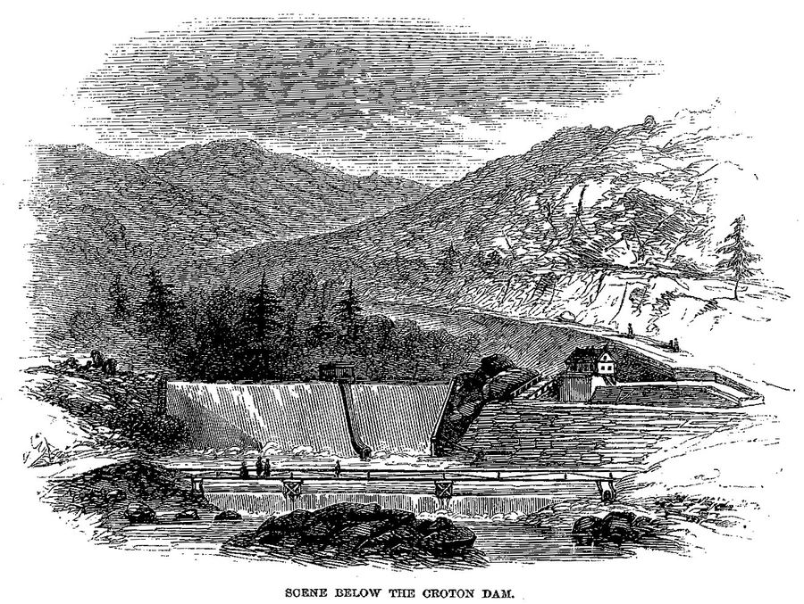
Harper's New Monthly Magazine / Wikimedia Commons
Scene Below the Croton Dam — Harper's Magazine (1860)
Engraving from T. Addison Richards' article 'The Croton Aqueduct' in Harper's New Monthly Magazine, December 1860. Shows the dramatic scenery below the Old Croton Dam with water cascading over the…
Harper's New Monthly Magazine / Wikimedia Commons
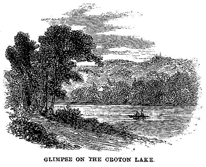
Glimpse on the Croton Lake — Harper's Magazine (1860)
Engraving showing the Croton reservoir lake behind the Old Croton Dam. From T. Addison Richards' article 'The Croton Aqueduct' in Harper's New Monthly Magazine, December 1860. The dam created a…
Harper's New Monthly Magazine / Wikimedia Commons
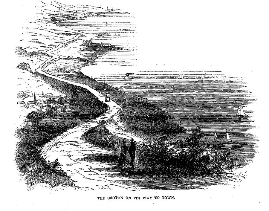
The Croton on Its Way to Town — Harper's Magazine (1860)
Engraving showing the Croton Aqueduct route as it carries water toward Manhattan. From T. Addison Richards' comprehensive article in Harper's, December 1860. The aqueduct traveled 41 miles by…
crotonhistory.org — https://crotonhistory.org/2013/09/02/the-ultimate-birds-eye-view-of-manhattan/
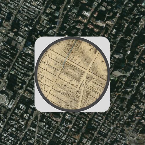
The Ultimate Bird's Eye View of Manhattan
The Ultimate Bird's Eye View of Manhattan
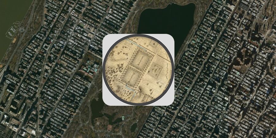
This post presents an interactive map mashup comparing Manhattan's development across 177 years. The visualization combines an 1836 map by Colton with contemporary…

Internet Archive (ruttenberindians00ruttrich), p.1
Title Page — History of the Indian Tribes of Hudson's River
Title page of E.M. Ruttenber's 1872 study, the definitive 19th-century work on the Kitchawank, Wappinger, and other Hudson River indigenous peoples.
Date: 1872
Type: engraving
Subjects…
crotonhistory.org — https://crotonhistory.org/2013/09/02/the-ultimate-birds-eye-view-of-manhattan/
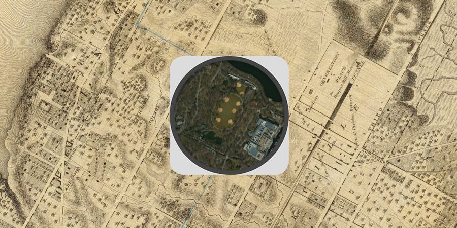
The Ultimate Bird's Eye View of Manhattan
The Ultimate Bird's Eye View of Manhattan
This post presents an interactive map mashup comparing Manhattan's development across 177 years. The visualization combines an 1836 map by Colton with contemporary…
crotonhistory.org — https://crotonhistory.org/2013/09/02/the-ultimate-birds-eye-view-of-manhattan/
The Ultimate Bird's Eye View of Manhattan
The Ultimate Bird's Eye View of Manhattan
This post presents an interactive map mashup comparing Manhattan's development across 177 years. The visualization combines an 1836 map by Colton with contemporary…
Wikimedia Commons
Dutch Assault on Indian Village — Kieft's War
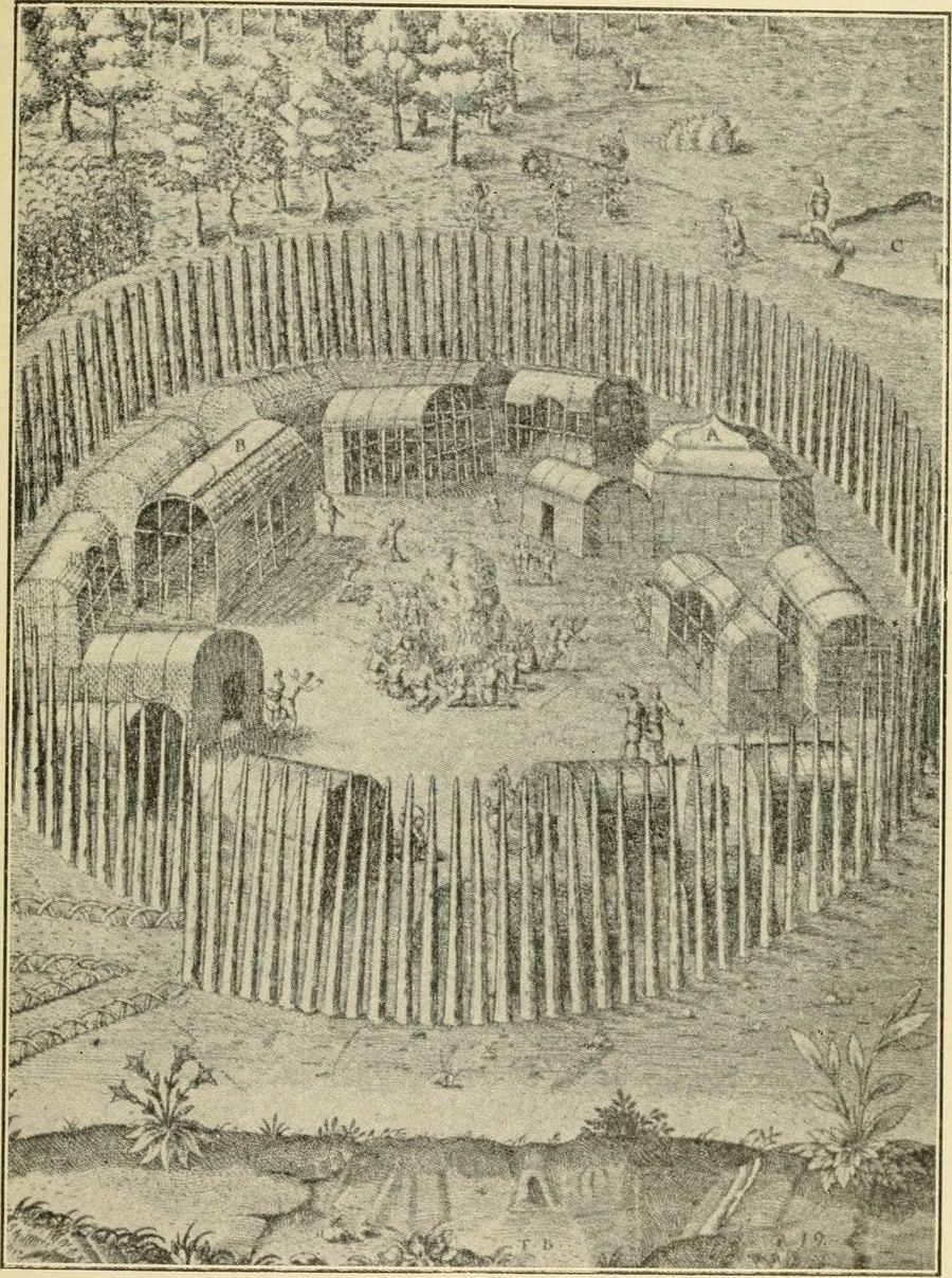
1914 illustration from 'Tales of Old New York' showing a Dutch assault on an indigenous village during Kieft's War (1643-1645). The war began after a 15-year revenge killing and…

crotonhistory.org — https://crotonhistory.org/2012/02/26/sarahs-point-1776/
Sarah's Point, 1776
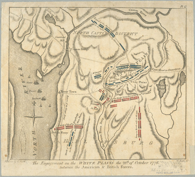
[Article content from crotonhistory.org - see URL for full text and images]
Date: Various
Source: crotonhistory.org — https://crotonhistory.org/2012/02/26/sarahs-point-1776/
License: Used with attribution; consult crotonhistory.org for permissions
crotonhistory.org — https://crotonhistory.org/2012/02/26/sarahs-point-1776/
Sarah's Point, 1776
[Article content from crotonhistory.org - see URL for full text and images]
Date: Various
Source: crotonhistory.org — https://crotonhistory.org/2012/02/26/sarahs-point-1776/
License: Used with attribution; consult crotonhistory.org for permissions
crotonhistory.org — https://crotonhistory.org/2013/01/30/the-motorists-playground/
The Motorist's Playground
The Motorist's Playground
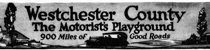
This post examines early 1920s roadhouse culture in the Croton area. Advertisements from the June 12, 1921 New-York Tribune featured three Croton "road houses" in a promotion marketing "Westchester County, the…
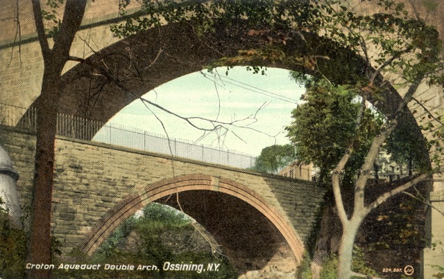
crotonhistory.org — https://crotonhistory.org/2013/07/20/celebrating-ossinings-double-arch/
Celebrating Ossining's Double Arch
Celebrating Ossining's Double Arch
This post celebrates the restoration of Ossining's famous Double Arch promenade, which reopened on Saturday, July 20, 2013. The Double Arch is a granite aqueduct structure spanning the Sing…

Internet Archive (ruttenberindians00ruttrich), p.7
Blank Page from Ruttenber's Study
The image shows a blank page with a beige background, scattered dark specks, and faint stains. There is no visible text or images on the page.
Date: 1872
Type: document
Source: Internet Archive (ruttenberindians00ruttrich…