Restored maps / 1920 bulletin · bound 1922
Parker’s Westchester County map
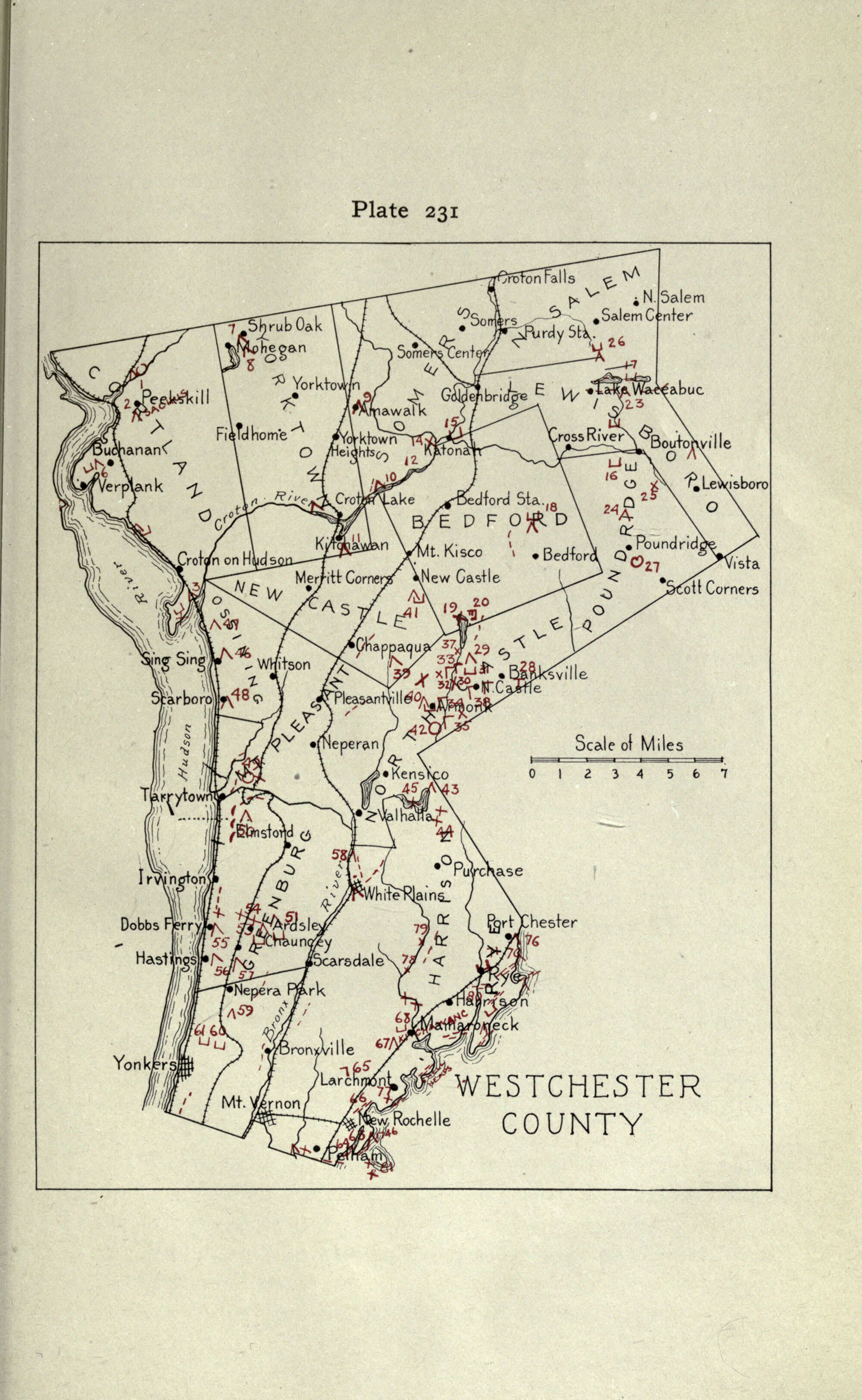
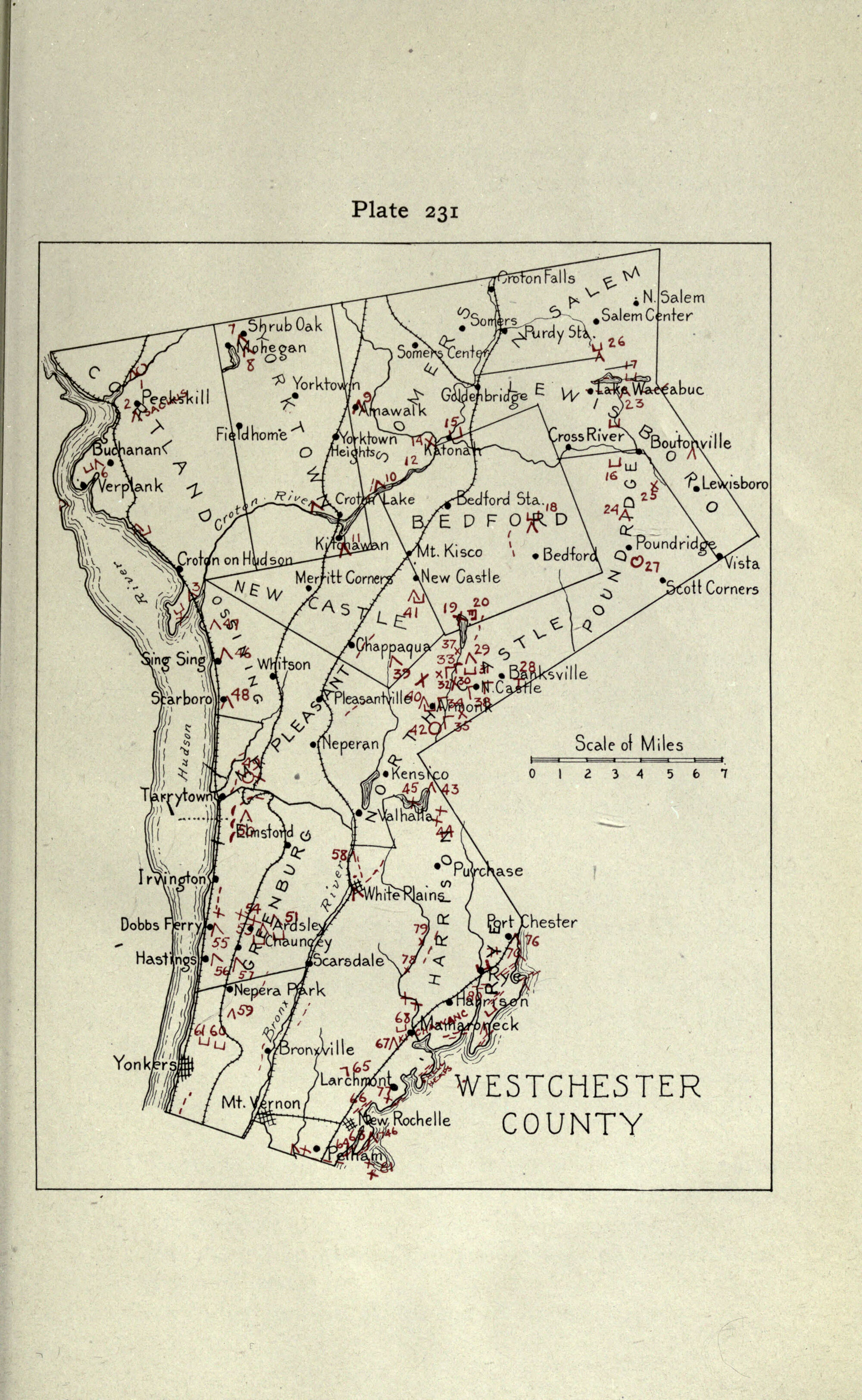
A complete retained sheet of Arthur C. Parker’s numbered inventory, with its red site marks, place names, coastline and legend.
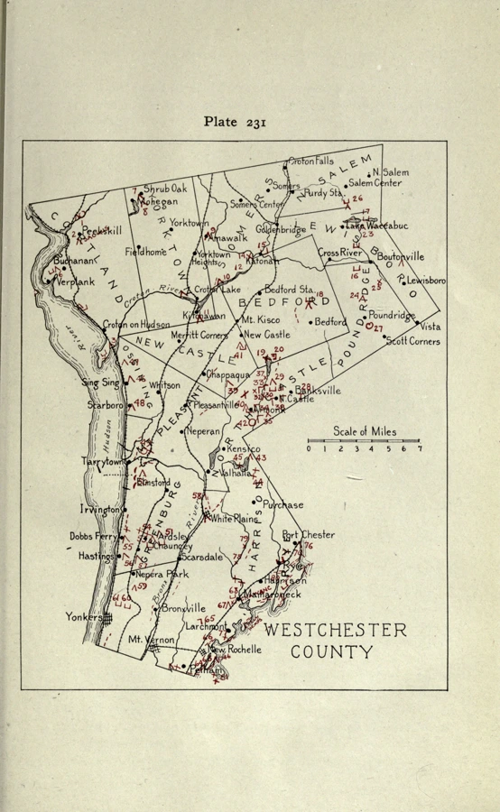
Full source and restored files are available below. JavaScript enables tiled zoom and comparison.
What changed
Existing ink was gently deepened before 2× Lanczos upscaling and bounded sharpening. All pixels of the retained sheet were processed, including its title, legend, scale and margins. No lettering was redrawn or replaced.
This viewer includes the full retained sheet. The atlas separately uses its existing northern registered excerpt; that excerpt is not the complete sheet. Parker’s red symbols are historical inventory marks, not surveyed site coordinates.
Some paper grain is stronger, and source blur or overlapping ink can remain ambiguous. Upscaling improves the display of existing pixels; it does not establish new readable detail or remove uncertainty.
Vector tracing remains held. Trial traces made small type angular and red-symbol edges uneven. This viewer uses the inspected raster display.
Source & inspection
Arthur C. Parker · New York State Museum · Internet Archive scan. The retained input is a 2000-pixel-wide JPEG derivative. A higher-resolution native scan has not been verified; the earlier exact resize request was not retained.
Checked October 17, 2026: all 36 regions in each of the full sheet and registered excerpt at native comparison scale, with selected 4× detail inspections and a separate reviewer’s eight detail checks. These checks found no obvious new raster defect; they are not a guarantee of lossless historical interpretation.
Original source catalogue ↗ · Source scan ↗

Retained original JPEG (1.1 MB) ↓ · Full restored display (21.3 MB) ↓ · Processing & registration record ↗
Retained original checksum
30b62b4f0bbef7b79c30c584a43ac4f77405ececa156ec0425a67b684e41940a