1920 bulletin · bound 1922 · Restored display
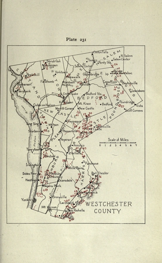
Parker’s Westchester County map
A complete retained sheet of Arthur C. Parker’s numbered inventory, with its red site marks, place names, coastline and legend.
Zoom & compare →Originals & processed scans
Compare original scans with processed displays. Zoom to inspect contours, lettering and symbols.
1920 bulletin · bound 1922 · Restored display
A complete retained sheet of Arthur C. Parker’s numbered inventory, with its red site marks, place names, coastline and legend.
Zoom & compare →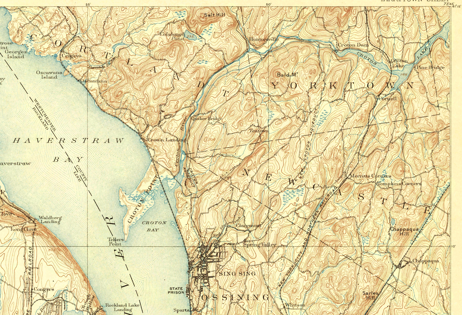
April 1892 edition · surveyed 1890 · Restored display
Twenty-foot contours, roads, streams and place names before the New Croton Reservoir.
Zoom & compare →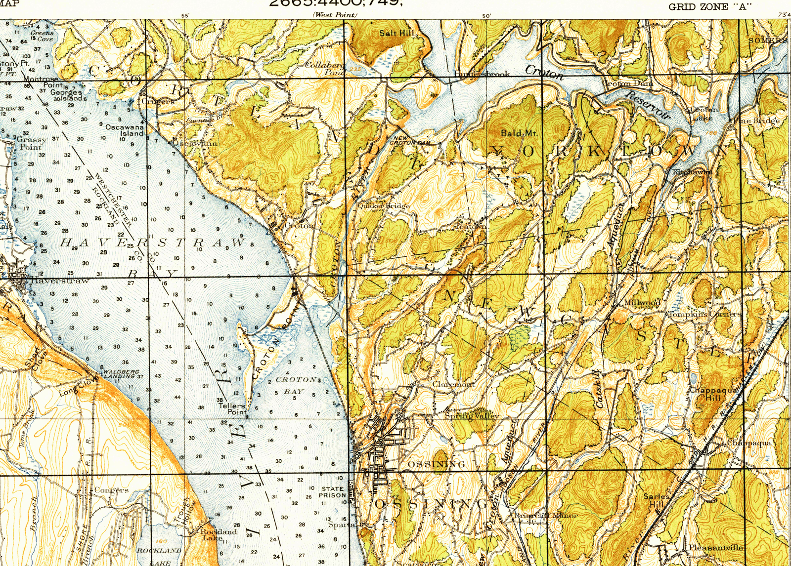
1937 Army reprint · 1915 fieldwork · Restored display
Ten-foot contours, roads, buildings and water detail on the Army tactical-map reprint.
Zoom & compare →Upscaling interpolates the scan. It cannot recover an unreadable word or establish a more accurate historical location. Vector tracing is tested separately; candidates that alter marks stay out of the public map.
Open the geographical atlas → · Browse the full photos & maps collection →