History / Search
4 passages in 4 source items for “Jervis engineer Croton”
Collection
All
🏹 Indigenous Peoples & Archaeology
📜 Colonial & Dutch Records
📖 Westchester County Histories
🏘️ Croton Local History
🏛️ Government Documents
Library of Congress
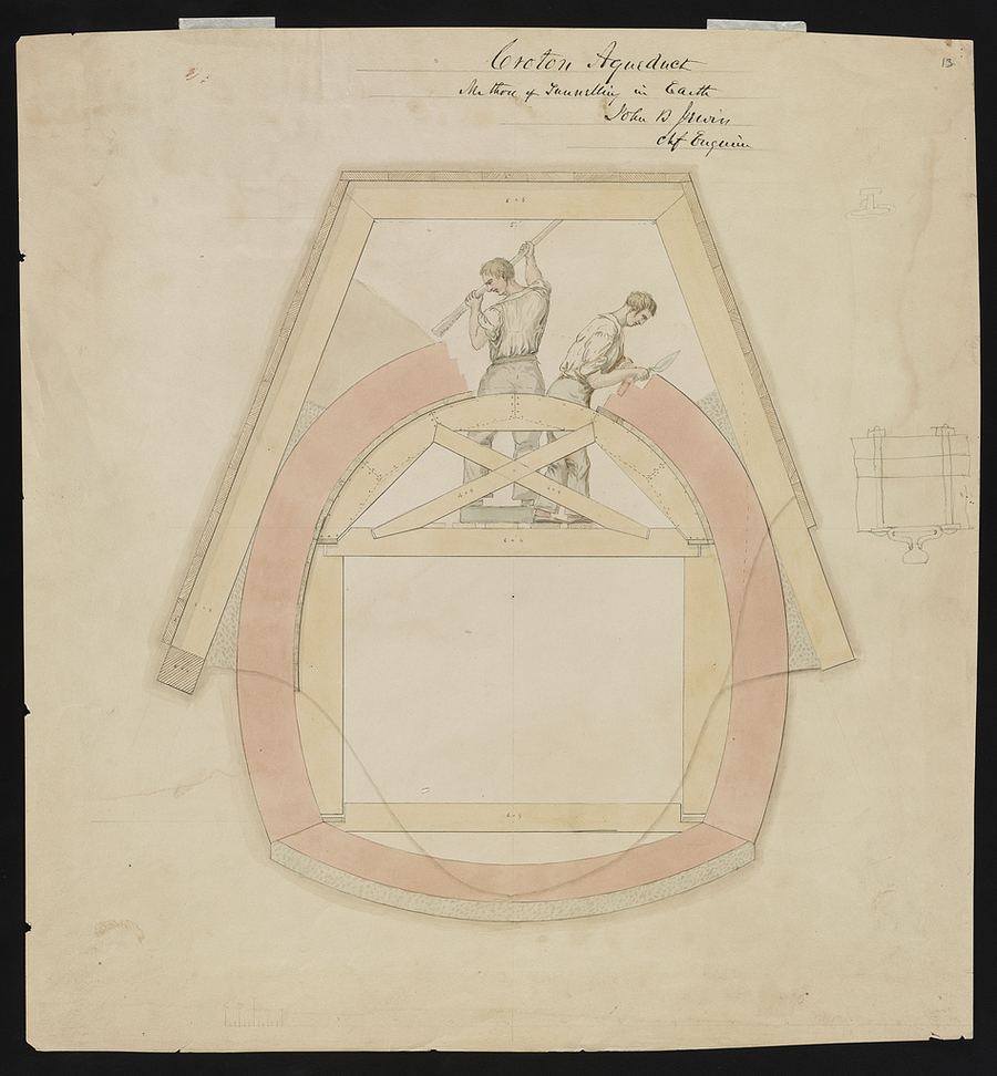
Croton Aqueduct Tunnelling Method — Jervis Drawing (1837)
Ink and watercolor engineering drawing by chief engineer John B. Jervis showing workers tunnelling through earth during the construction of the Croton Aqueduct. Jervis designed the entire 41-mile system, including the dam…
Library of Congress
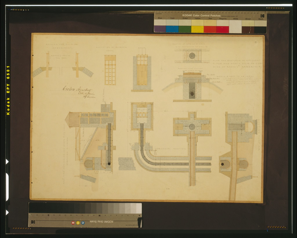
Croton Aqueduct Plans and Sections — Jervis Drawing (1837)
Ink and watercolor rendering of aqueduct cross-sections, elevations, and construction plans by chief engineer John B. Jervis. Shows the precise engineering behind the gravity-fed system that carried Croton water to…
NYPL, Lionel Pincus and Princess Firyal Map Division
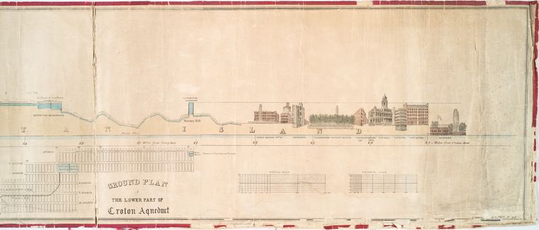
Profile of Lower Part of Croton Aqueduct — Jervis/Schramke (1843)
Engineering profile drawn by Theophilus Schramke under the direction of chief engineer John B. Jervis, showing the elevation changes along the lower portion of the Croton Aqueduct as it approached…
NYPL, Lionel Pincus and Princess Firyal Map Division
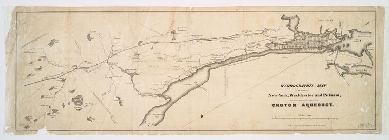
…Compiled under the direction of chief engineer John B. Jervis. Shows the relationship of the aqueduct to rivers, hills, and settlements along its 41-mile route.
Date: 1846
Type: map
Subjects: Croton Aqueduct, rivers, hills, settlements, Westchester County, Manhattan
Source…