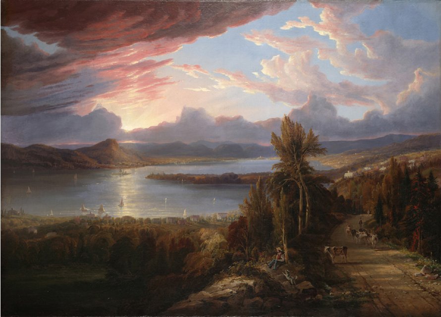
Robert Havell Jr.'s 1851 view of the Hudson River near Croton Point. A regional landscape view, not a site plan of George’s Island.
In this story · 4 sections
A brick fragment can make an industrial past visible in a public park. At George's Island, collectors have documented different makers' marks along the shore. The marks are a useful beginning: they invite a closer look at the businesses and transport routes behind a landscape now used for recreation.
More than one maker
The photographic record assembled by BrickCollecting shows Gormley and Bellefuille bricks at George's Island. Its regional inventory also identifies several operators associated with the area. That evidence contradicts our earlier assertion that every fragment on the beach came from one company. Photographs and brickmaking inventory
A maker's mark can help connect an object to a producer. It cannot, on its own, establish the exact year it was made, how it reached a particular stretch of shore or whether it broke during loading. Our earlier article supplied those explanations without evidence.
The collector's page also reproduces an obituary describing a final Gormley shipment in 1938. That is a lead into the company's history, not proof that every piece of brick on this shoreline dates from that shipment or that the same yard operated unchanged for a century.
The waterfront as a workplace

The region's brick history connects raw material, manufacturing and transport. To reconstruct one yard, the most useful sources are contemporary maps, business records and industrial descriptions. They can distinguish an owner from an operator, a brickyard from an adjoining parcel, and a period of operation from a date that happens to appear in a directory.
This matters at George's Island because later summaries often compress several businesses into a single familiar name. The objects preserve differences that the summaries can lose.
The public park
Westchester County describes George's Island as a 208-acre waterfront park with tidal wetlands, a freshwater pond, wooded trails and access to the Hudson. The county also identifies archaeological significance and sensitive shoreline areas. County park information
That is a broader landscape than an abandoned factory site. Its history includes activities that may leave little visible masonry, and evidence whose context matters as much as the object itself. The county's current map is the appropriate guide to public access.
What a fragment cannot settle
The origin of the park's name, the full sequence of industrial leases and the exact route into public ownership deserve their own documentary research. Our earlier article presented guesses about a worker named George, dates borrowed from nearby archaeological sites and an unsupported wartime ownership narrative as settled history. Those claims have been removed.
The surviving evidence is still inviting. A stamped brick, a map label and a business listing can be compared. Each adds something different. The pleasure of this history lies in following those connections carefully enough that the next discovery changes the picture.
Updated October 16, 2026. Removed the claim that all shoreline bricks came from Gormley, unsupported naming and archaeological explanations, and an unverified wartime ownership narrative. The industrial account now distinguishes photographed objects from broader historical claims.
Follow the evidence
Sources are linked beside the claims they support. Numbered notes open archived passages; named links open the cited record or publication.