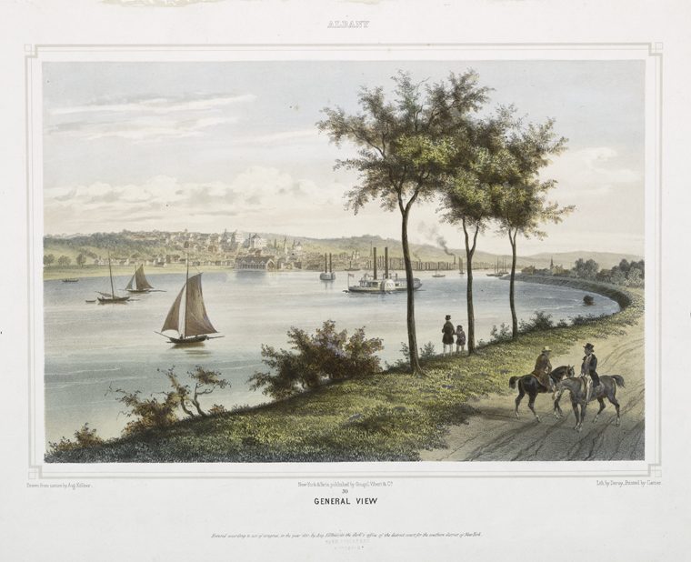
Historic illustration of the Croton Aqueduct's Harlem River crossing.
In this story · 6 sections
Correction, September 8, 2026: An earlier version mislabeled Croton Gorge as the southern trailhead and confused the June 22, 1842 release of water into the aqueduct with its June 27 arrival at Manhattan's receiving reservoir. It also described the aqueduct as completely retired in 1955 after 113 years of continuous service. Current State Parks records date its supply to New York City through 1965 and a northern section's return to service for Ossining to 1987. Unsupported claims about construction deaths, the immediate end of epidemics and comparative engineering records have been removed.
At the northern end of the Old Croton Aqueduct State Historic Park, near the New Croton Dam in Croton Gorge Park, a trail follows the route of a buried water conduit. The state park continues south through Westchester to the Yonkers–New York City boundary. Its 26.2 miles preserve part of the original aqueduct's 41-mile route to Manhattan.
The conduit is an elliptical masonry tube, approximately 8.5 feet high and 7.5 feet wide, brick-lined through much of its length. Its engineered descent of about 13 inches per mile allowed water to travel by gravity. The trail follows the aqueduct's general route; that does not mean every rise or street crossing reproduces the tunnel's precise gradient. State Parks trail guide, p. 43
The Decision to Build
New York's earlier water sources included wells, springs and ponds. As the city grew, pollution and an inadequate supply made disease and fire persistent concerns. The Croton project brought water from a reservoir outside the city through a purpose-built conduit to Manhattan, where reservoirs and distribution pipes served the growing population. NYC DEP water-supply history
Construction began in 1837 under chief engineer John B. Jervis. State Parks estimates that three to four thousand workers, mostly Irish immigrants, built the system over five years. Their work was central to the project. State Parks history
Water Arrives in 1842
The opening involved several dates. Water entered the aqueduct on June 22, 1842. It reached the receiving reservoir at the site of Central Park's present Great Lawn on June 27. Water entered the city's distribution system on July 4. The reservoirs and the aqueduct's intake were separate places, so these dates should not be treated as interchangeable. State Parks interpretation, NYC Water's archival account
The distributing reservoir stood at Fifth Avenue and 42nd Street, now the site of the New York Public Library's main building. The city's formal Croton celebration followed on October 14, 1842. That autumn celebration commemorated a water system already in service. NYC DEP, State Parks
The Aqueduct in Operation
Maintaining a gravity route across varied terrain required more than digging a continuous trench. Builders cut through hillsides, used embankments and carried the conduit across ravines on masonry structures. Ventilators admitted air, while weir chambers allowed workers to control or drain the flow for inspection and repair. State Parks design guidelines, p. 3, State Parks visitor information
High Bridge, the Harlem River crossing, entered service in 1848. Its opening came after water first reached Manhattan; it was not complete for the 1842 celebration. New York City identifies High Bridge as its oldest surviving bridge. Restoration reopened it to pedestrians and cyclists in 2015. NYC Department of Design and Construction
A Gradual Retirement, and a Continuing Use
The old system's capacity became insufficient as demand grew. Construction of the New Croton Aqueduct began in 1885, and it began carrying water in 1890. The older conduit continued to supplement the supply. State Parks design guidelines, p. 3
Its retirement was a process rather than a single, complete abandonment. The State Parks management plan gives 1955–65 as the withdrawal period. The agency's current park history and its 2020 design guidelines say that the Old Croton Aqueduct supplied New York City until 1965. Those sources also record a northern section returning to service for Ossining in 1987. Describing the entire aqueduct as permanently disused after 1955 obscures that later water-supply role. Management plan, pp. 12–13, 2020 design guidelines, p. 3
1968: A State Historic Park
In 1968, New York State purchased the 26.2-mile Westchester section from New York City. Walkers had used the corridor before the acquisition; state ownership formalized its preservation and recreational role. The Westchester portion was placed on the National Register of Historic Places in 1974, and the aqueduct received National Historic Landmark designation in 1992. State Parks design guidelines, p. 3, management plan, pp. 10–13
The engineering record remains accessible beyond the trail itself. The Library of Congress holds HAER NY-120, with 53 photographs, one measured drawing and 185 pages of historical data. Its catalog credits historian Larry D. Lankton and photographer Jack Boucher. Those records give readers a way to examine the system's structures and history in detail. Library of Congress record
The Trail Today
The state trail links wooded stretches with village streets and urban neighborhoods. Ossining's aqueduct bridge and weir chamber and the Keeper's House in Dobbs Ferry provide places to understand the infrastructure. The Keeper's House is now the park's visitor center and museum. The state park ends at the New York City boundary; the aqueduct route continues through the Bronx under city management. State Parks visitor information, management plan, pp. 10–11
Walking and running are the principal activities. Parts of the trail also accommodate cycling outside mud season, horseback riding, birdwatching, snowshoeing and cross-country skiing. The official map identifies the route and its street connections for visitors exploring a section at a time. State Parks trail guide, p. 43, current park information
The connection between the walking route and the water system is the reason to look beyond the path. The ventilators, bridges and weirs show how a nineteenth-century supply line crossed this landscape. The park preserves that engineering history alongside a route people can use today.
Sources Consulted
- New York State Parks: Old Croton Aqueduct State Historic Park — current agency history and visitor information.
- State Parks: Community Design Guidelines, November 2020 — printed page 3, construction, 1965 retirement and 1987 Ossining use.
- State Parks: Management Plan — printed pages 10–13, corridor boundaries and historical chronology.
- State Parks: Empire State Trails, Southern Region — page 43, dimensions and trail route.
- NYC DEP: History of New York City's Drinking Water.
- NYC Water Staff: Croton Aqueduct Celebrates 175th Anniversary, July 5, 2017 — receiving-reservoir and distribution-system opening dates.
- NYC Department of Design and Construction: High Bridge restoration, March 30, 2017.
- Library of Congress: Old Croton Aqueduct, HAER NY-120.
The source list includes the records used for this story. Explore more material in the Croton Historical Archive.